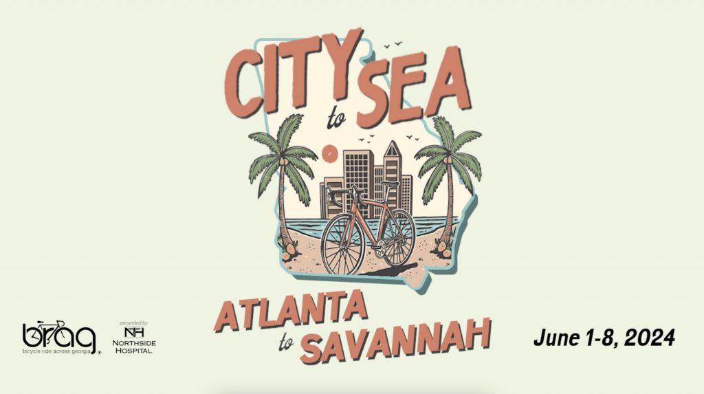
As the Bicycle Ride Across Georgia (BRAG) gears up for its 2024 City to Sea ride, culminating in the historic city of Savannah, meticulous route planning is at the forefront to ensure an enjoyable experience for all participants.
Drawing from a rich history, BRAG has successfully charted paths across Georgia, guided by the collective experience of thousands of cyclists. This heritage serves as the backbone of our route planning, providing a time-tested foundation that we continuously build upon.
In the wake of past accidents in Savannah, safety is a priority. We understand that while the thrill of cycling is inescapable, the roads we share are not without risk. Thus, we are doubling down on precautions to make the City to Sea ride is as safe as a cycling route on public roads can be.
BRAG is not only dedicated to creating memorable cycling experiences but also to fostering a broader cycling community by sharing our knowledge and methodologies for developing exceptional cycling routes. Below, we offer some of the tools and resources that outline the nuances of route planning, incorporating everything from analyzing historical data and leveraging technological tools like Strava Heat Maps and Google Streetview, to engaging with local insights and law enforcement advice. By openly sharing our strategies, we aim to empower fellow enthusiasts and organizations to craft their own safe and enjoyable cycling routes. It’s our belief that by doing so, we contribute to the growth and enrichment of the cycling community at large, ensuring that the joy of cycling is accessible to all who wish to embark on these two-wheeled adventures.
To enhance our routes, we employ a variety of resources including the following:
Historical Data: We consult the archives of past BRAG routes, learning from the experiences of cyclists who have navigated these paths before us. It is also wise to look at the routes of other cycling organizations to see what roads organizations often use or avoid.
Community Input: Other cycling events and their participants generously share their insights, with platforms like Ride with GPS and Strava serving as valuable references for popular routes. Also we reach out to our vast network of past participants who live all over the state to seek guidance on their local cycling routes.
Strava Heat Maps: Utilizing real-time data from thousands of cyclists, these maps reveal the most frequented routes, allowing us to identify paths with a proven track record of cyclist preference and safety. Be careful, as sometime people forget to stop recording and log extra miles on more heavily trafficked roads. https://www.strava.com/heatmap
Traffic Data: The Georgia Department of Transportation provides crucial information on traffic patterns and vehicle speeds, which helps us avoid high-traffic areas prone to potential hazards. Visit https://gdottrafficdata.drakewell.com/publicmultinodemap.asp for traffic counts, average speeds, and a litany of other information.
Google’s Tools: Streetview and satellite imagery offer us a clear view of high level road conditions, traffic dynamics, and alternate paths like dirt roads, contributing to informed decisions about our cycling routes.
State and National Trails: We analyze state cycling routes and trails like the East Coast Greenway for potential incorporation, ensuring they align with our safety standards and route objectives. Exercise caution as sometimes the routes prefer larger four lane highways or roads we would never put cyclist on. https://www.adventurecycling.org/routes-and-maps/us-bicycle-route-system/usbrs-interactive-map/
Local Insight: No one knows the roads better than local cyclists, bike shops, and advocacy groups. Their on-the-ground knowledge is invaluable in crafting a route that is both enjoyable and safe.
Law Enforcement Collaboration: We actively engage with law enforcement agencies to receive guidance and adhere to any recommendations or requirements they have for public road events. We also employ a myriad of off duty officers at areas of concern to ensure motorist are aware there is a cycling route in progress.
Route Inspections: After using all these tools to get a good route down on paper, nothing compares to getting out and inspecting the route for yourself. We travel the route several times, often tweaking certain roads or making wholesale changes after seeing the roads, traffic, and sightlines physically in person. We inspect all of our routes before putting anyone on them.
Experience: Years of organizing cycling events have honed our expertise in routing cyclists safely through public roads. If you have any questions please feel free to reach out to us.
As we prepare for the City to Sea ride, these comprehensive measures form a robust framework to ensure every participant can enjoy the beauty of Georgia with peace of mind. Safety may be a shared responsibility, competence on your bicycle and competence riding on public roads in a group is the absolute best tool to keep yourself safe . Join us as we pedal forward, not just towards our destination, but towards a safer cycling future.