After decades of designing multi-day cycling adventures across Georgia, we’ve learned that creating a memorable bicycle route requires more than just connecting two points on a map. At BRAG (Bicycle Ride Across Georgia), we’ve planned hundreds of miles of scenic, safe, and enjoyable cycling routes. Through years of experience, we’ve developed a systematic approach that consistently delivers exceptional riding experiences.
Whether you’re organizing a century ride, planning a bike tour, or simply want to plan a bicycle route for your local cycling club, understanding the fundamentals of route design will help you create safer, more enjoyable experiences. The process involves careful consideration of logistics, safety, scenery, and rider experience. Let’s explore the step-by-step approach we use to plan routes that keep riders coming back year after year.
Start with Your Endpoints: The Foundation of Route Planning
When you begin to plan a bicycle route, your starting and ending locations will likely be the most limiting factors. These endpoints dictate much of your route layout and significantly impact the overall experience. Therefore, choosing them carefully is essential to your success.
Why Endpoints Matter Most
Your start and end points must accommodate the logistical needs of cyclists. Specifically, they require adequate amenities that support both preparation and recovery. Without proper facilities, even the most scenic route can become a frustrating experience for participants.
Consider the following essential amenities:
- Hotels and lodging for overnight stays or pre-ride rest
- Parking facilities with adequate space for participant vehicles
- Restroom access for comfort and convenience
- Shower facilities for post-ride cleanup
- Camping areas if offering that option
- Food and water sources nearby
Additionally, these locations should offer safe areas for cyclists to gather, prepare bikes, and conduct pre-ride briefings. The endpoint facilities set the tone for your entire event. Furthermore, they provide the first and last impressions that participants will remember.
Practical Endpoint Considerations
Look for communities that welcome cycling events and have experience hosting them. Small towns often provide enthusiastic support, while larger cities offer more amenities. However, both can work depending on your route goals and audience.
Churches, schools, and community centers frequently serve as excellent starting points. They typically offer parking, restrooms, and open spaces for gathering. Moreover, many are willing to support cycling events that bring visitors to their community.
Leverage Digital Route Planning Tools
Modern technology has revolutionized how we plan a bicycle route. Digital tools provide insights that would have been impossible to gather just a decade ago. Therefore, utilizing these resources effectively can save time and improve route quality.
Essential Digital Resources
Ride with GPS stands out as one of the most valuable planning tools available. This platform allows you to create routes, view elevation profiles, and access a wealth of user-generated data. Additionally, it integrates with cycling computers for easy navigation during rides.
Google Street View enables virtual reconnaissance of potential route segments. You can assess road conditions, shoulder widths, and potential hazards without leaving your desk. Consequently, this helps eliminate problematic road sections before committing them to your route.
Traffic count maps provide crucial data about vehicle volumes on different roads. In Georgia, the GDOT Traffic Data website offers comprehensive traffic count information. These maps help identify quieter roads that provide safer, more enjoyable cycling experiences.
Strava and Ride with GPS heat maps reveal where cyclists actually ride. These tools show popular routes and segments that local cyclists prefer. However, remember that some heat map data may include post-ride vehicle travel when cyclists load bikes and drive home.

Making the Most of Digital Tools
Start by plotting a rough route between your chosen endpoints. Then, use heat maps to identify popular cycling roads in the area. Next, verify those roads using Street View and traffic data. This combination helps you identify roads that are both popular with cyclists and relatively safe.
Pay attention to elevation profiles throughout your planning process. While some climbing adds character, excessive elevation gain can discourage intermediate riders. Therefore, balance scenic climbs with flatter sections that allow recovery and conversation.
Study Existing Routes and Events
Learning from established cycling events provides valuable shortcuts in your planning process. Existing century rides, popular club routes, and charity events represent years of collective route-finding wisdom. Moreover, they’ve already been tested by real cyclists in real conditions.
What to Learn from Existing Routes
Local century rides often highlight the best cycling roads in a region. These routes have been refined over multiple years based on participant feedback. Similarly, weekly club rides follow roads that local cyclists know intimately.
While these existing routes may not cover your entire planned distance, they often reveal excellent segments. For example, you might discover a particularly scenic 20-mile stretch that connects perfectly with your route. Additionally, studying these routes helps you understand local cycling preferences and challenges.
Adapting Rather Than Copying
Don’t simply copy existing routes—adapt their best elements to serve your specific needs. Perhaps a charity ride uses an excellent first 30 miles that fits your route direction. You can incorporate that segment while creating unique sections that distinguish your event.
Furthermore, contact organizers of successful events for insights. Most are happy to share what worked well and what they’d change. This collegial approach strengthens the broader cycling community while improving your route quality.
Engage Local Knowledge and Resources
Digital tools provide excellent data, but nothing replaces local knowledge from people who ride these roads regularly. Therefore, connecting with local cyclists, bike shops, and clubs should be a priority in your planning process.
Connecting with Local Cyclists
Reach out to bike shops in areas along your proposed route. Shop employees and owners often know the best roads, common hazards, and seasonal considerations. Additionally, they can connect you with local club leaders who may offer valuable insights.
Local cycling clubs represent goldmines of route knowledge. These riders know which roads have poor surfaces, aggressive dogs, or dangerous intersections. Moreover, they understand traffic patterns at different times of day and days of the week.
Working with Law Enforcement
Local law enforcement should be consulted both during planning and before finalizing your route. Police and sheriff’s departments can provide insights about road safety, accident history, and potential traffic concerns. Furthermore, they can help coordinate traffic control if needed during your event.
This relationship serves multiple purposes. First, it helps ensure rider safety through expert input. Second, it builds goodwill with authorities who may need to support your event. Finally, it demonstrates your commitment to responsible event planning.
Prioritize Safety Through Data and Analysis
Safety must remain paramount throughout every stage of route planning. Consequently, utilizing databases and resources that track cyclist safety helps identify and avoid dangerous road segments.
Accessing Safety Data
Many states maintain databases that map traffic accidents involving cyclists. These resources help identify roads or intersections with concerning safety records. While perfect safety data may not exist everywhere, whatever information you can gather will improve your route decisions.
Look for patterns in accident data. Perhaps certain road types or specific intersections show recurring problems. Additionally, consider temporal factors—some roads may be safe on weekends but dangerous during weekday commutes.
Building Safety Into Route Design
Beyond avoiding known problem areas, design safety into your route proactively. Prefer roads with wide shoulders or designated bike lanes. Choose routes that minimize left turns across busy roads. Furthermore, consider sight lines, especially on descents and curves.
Time of day matters significantly for safety. Weekend morning rides typically encounter less traffic than weekday afternoons. Therefore, if your event runs on specific days and times, verify that your route works well during those periods.
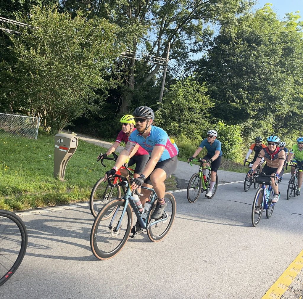
Create an Experience Worth Remembering
Cyclists don’t just ride to exercise—they ride to explore and experience new places. Therefore, your route should showcase the unique character, beauty, and attractions of the region you’re traversing.
Incorporating Points of Interest
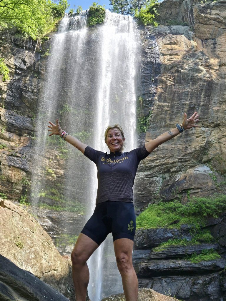
Identify landmarks, historic sites, scenic overlooks, and local attractions along your route. These features transform a simple ride into a memorable journey. Moreover, they provide natural conversation topics and photo opportunities that enhance the social aspects of cycling.
Consider routing past interesting architecture, through charming downtowns, or along scenic waterways. Even small detours to include special features can significantly enhance the overall experience. However, balance these additions against total distance and difficulty.
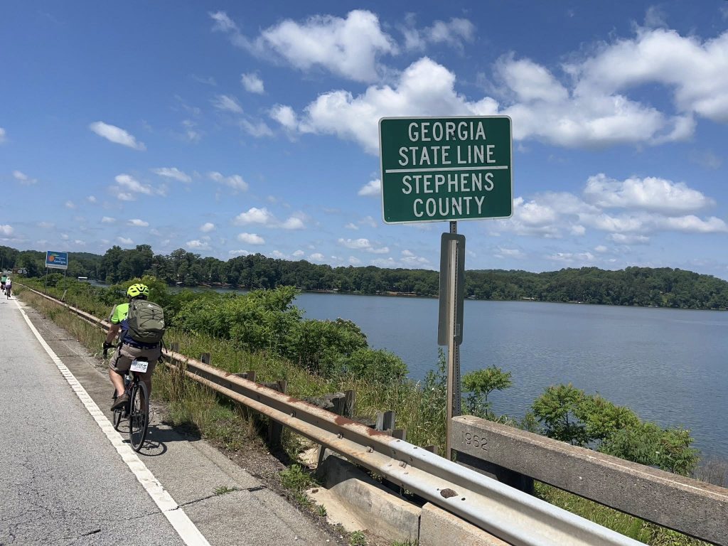
Showcasing Regional Character
Every region has distinctive qualities worth highlighting. Coastal routes might emphasize marshlands and historic port towns. Mountain routes can showcase dramatic elevation changes and mountain vistas. Additionally, agricultural regions offer pastoral beauty and opportunities to see working farms.
Research the areas you’re traversing to understand what makes them special. Local tourism boards, historical societies, and chamber of commerce organizations can provide valuable information. Furthermore, this research helps you craft compelling descriptions that attract participants.
Plan Strategic Rest Stops
Proper rest stop placement significantly impacts rider comfort, safety, and enjoyment. Therefore, careful planning of these support locations deserves substantial attention during route design.
Rest Stop Spacing and Location
Place rest stops every 12–18 miles along your route. This spacing works well for most intermediate cyclists, providing opportunities to refuel, hydrate, and rest without excessive interruption. However, adjust spacing based on terrain difficulty and expected temperatures.
Each rest stop location should provide or allow access to essential amenities:
- Water for hydration and bottle refills
- Nutrition including both quick energy and substantial food
- Restroom facilities that are clean and accessible
- Shade for hot weather or shelter for inclement conditions
Working with Communities and Businesses
If you can’t provide full support with official rest stops, identify existing facilities along your route. Convenience stores, parks, and restaurants can serve as unofficial rest stops. Additionally, many businesses welcome cyclists who purchase food and drinks.
Consider reaching out to communities along your route. Churches, fire stations, and civic organizations often volunteer to host rest stops. This creates positive community engagement while solving logistical challenges. Moreover, it helps local communities benefit from cycling tourism.
Verify Your Route Through Field Testing
No amount of digital planning replaces actually experiencing your route. Therefore, driving or riding the entire route before finalizing it is essential to catching problems and confirming quality.
The Importance of Physical Verification
Digital tools can’t reveal everything. Road conditions change, new construction may block planned segments, and some challenges only become apparent in person. Additionally, riding the route yourself helps you understand the cyclist experience firsthand.
Drive the route first to verify basic viability. Look for road closures, construction, poor pavement, and potential hazards. Take notes on mileage between turns, rest stop opportunities, and scenic highlights. Prepare a cue sheet that you can use as a route inspection sheet while scouting the route and note shoulder conditions, posted speed, observed hazards, or is there is anything that would fall outside of a cyclist’s Duty of Care while riding.
Final Safety Coordination
After confirming your route through field testing, reach back out to local law enforcement. Provide them with final route details and timing. Discuss any areas where traffic control might be beneficial. Additionally, ask for their final approval and any last-minute safety recommendations.
This final coordination demonstrates professionalism and commitment to safety. Moreover, it ensures that local authorities are prepared and supportive when your event takes place. Many departments will provide increased patrol presence or intersection support when given advance notice.
Bringing It All Together: The BRAG Approach
Planning a bicycle route that’s safe, scenic, and enjoyable requires systematic attention to many factors. At BRAG, we’ve refined our process over decades of creating memorable multi-day rides. By following these principles, you can create routes that riders will remember for years.
Start with solid endpoints that provide necessary amenities. Leverage modern digital tools while also tapping into local knowledge. Prioritize safety through data analysis and field verification. Furthermore, create experiences that showcase regional character and provide proper support.
Remember that route planning is both art and science. The technical aspects—distance, elevation, road conditions—must be balanced with experiential factors like scenery, community character, and cultural attractions. Moreover, continuous improvement through participant feedback helps refine routes over time.
Whether you’re planning your first organized ride or your fiftieth, these principles will help you design better routes. The cyclists who participate in your events will appreciate the careful thought and thorough preparation. Most importantly, they’ll enjoy safer, more memorable experiences that keep them coming back.